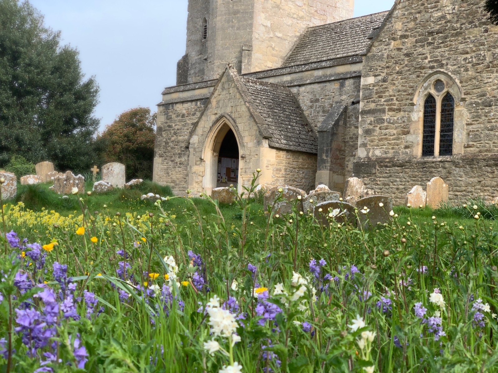
The ancient village of Horspath, active since before 1066, nestles on the slopes of Shotover, one mile outside the boundary of Oxford City and surrounded by Green Belt land. The old bridle-path joining the London Road through the neighbouring village of Wheatley gave the Anglo-Saxon name of “Horsepadan”.
In the Domesday Book it was recorded in 1086 that “Gilbert holds of Roger 5½ hides in Horspadan”. With time “Horsepadan” became “Horsepath”, but in 1912 the Parish Council changed to the unique form, “Horspath”. The earliest existing Parish Register for “Horsepath” dates back to 1561.
Latest News
**VOLUNTEERS REQUIRED**
Horspath Parish Council is taking part in the Great British Spring Clean 2026.
Volunteers are required to help carry out a litter pick in the village on Saturday 14th March 2026 at 10am.
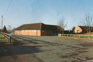
All equipment will be provided. Volunteers to meet at 10am in the Village Hall Car Park.
Public Consultation on Proposals for Local Government Reorganisation in Oxfordshire
Horspath Parish Council encourages residents to complete the questionnaire. Please click on the link : Consultation on Proposals for Local Government Reorganisation in Oxfordshire – Ministry of Housing, Communities and Local Government – Citizen Space for the introduction to the public consultation questionnaire.
Wildlife Conservation Area – Volunteers required to carry out repairs!
If you are able to assist please email the Parish Clerk:- clerk@nullhorspathparishcouncil.org
Background information is available at:- Horspath Parish Council 2023 – Wildlife Conservation Area
Proposed work plan: HPC Wildlife Conservation Area Volunteers – work plan 2023
South Oxfordshire District Council – Cost of Living Support Information
Cost of Living leaflet
Oxfordshire County Council – Cost of Living Support
our dedicated cost of living page
South & Vale District Councils – Help is at hand for people finding it hard to pay for food & energy bills.
southoxon.gov.uk/costofliving

The Parish Council
The meetings, functions and archives of the Parish Council.
Latest Parish News & Information
Report a problem, monthly news reports, events, travel information, local maps and other useful information.
Community Facilities & Services
Infomation of local amenities and facilities, and detail on how to hire.
Community Organisations and Services
Details of all the local organisations in the Parish.


